Year 8 · Maths · Ratio and scale · Lesson 3
Scale drawings and maps
Use scale drawings and map scales of the form 1 : n to find real and drawn lengths, converting between cm, m and km (invented places).
19-minute video lesson
Teaching, worked examples and 20 practice questions solved step by step.
Watch free for a monthWhat your child will learn
- Interpret a scale
- Find real distances
- Find map distances
- Convert units
The method
- Read the scale.
- Map to real: multiply.
- Real to map: divide.
- Convert units.
Key words: scale, scale drawing, map, ratio, convert.
Worked examples
The first three practice questions from the lesson, with every step.
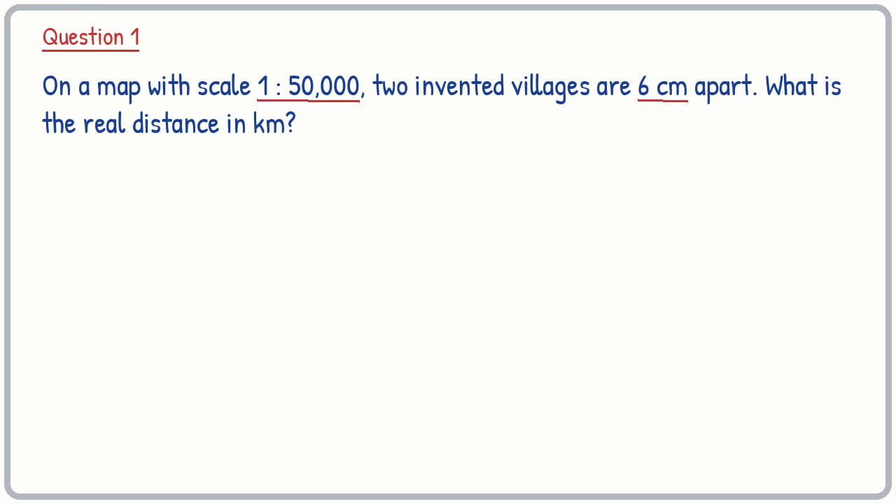
Question 1
On a map with scale 1 : 50,000, two invented villages are 6 cm apart. What is the real distance in km?
- Step 1: 6 × 50,000 = 300,000 cm
- Step 2: 100,000 cm = 1 km
- Step 3: 300,000 ÷ 100,000 = 3 km
Answer: 3 km
Question 2
On a map with scale 1 : 100,000, two invented villages are 3 cm apart. What is the real distance in km?
- Step 1: 3 × 100,000 = 300,000 cm
- Step 2: 100,000 cm = 1 km
- Step 3: 300,000 ÷ 100,000 = 3 km
Answer: 3 km
Question 3
On a map with scale 1 : 20,000, two invented villages are 2.5 cm apart. What is the real distance in km?
- Step 1: 2.5 × 20,000 = 50,000 cm
- Step 2: 100,000 cm = 1 km
- Step 3: 50,000 ÷ 100,000 = 0.5 km
Answer: 0.5 km